Part I
Wally and I traveled from Las Vegas to visit Bryce Canyon, Zion, and Grand Canyon National Parks and Lake Powell Reservoir in May 2023.
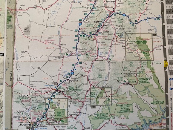
On the map above, Zion National Park is enclosed in a square on the lower left; Bryce Canyon National Park is in the middle of the map. This map covers the southwestern two thirds of the state of Utah. Provo, Salt Lake City, Logan and Ogden are all north of this map. Likewise, the eastern most third of the state is off the map to the right.
5 May 2023, we traveled from Cedar City, UT, to Bryce Canyon via I-15, Utah highway 20, then to Panguitch. and Bryce Canyon. In Bryce, we traveled to the south end of the highway at Yovimpa Point, then back north since all the viewpoints were then on the right-hand side of the road. Here are some photos and videos we took.
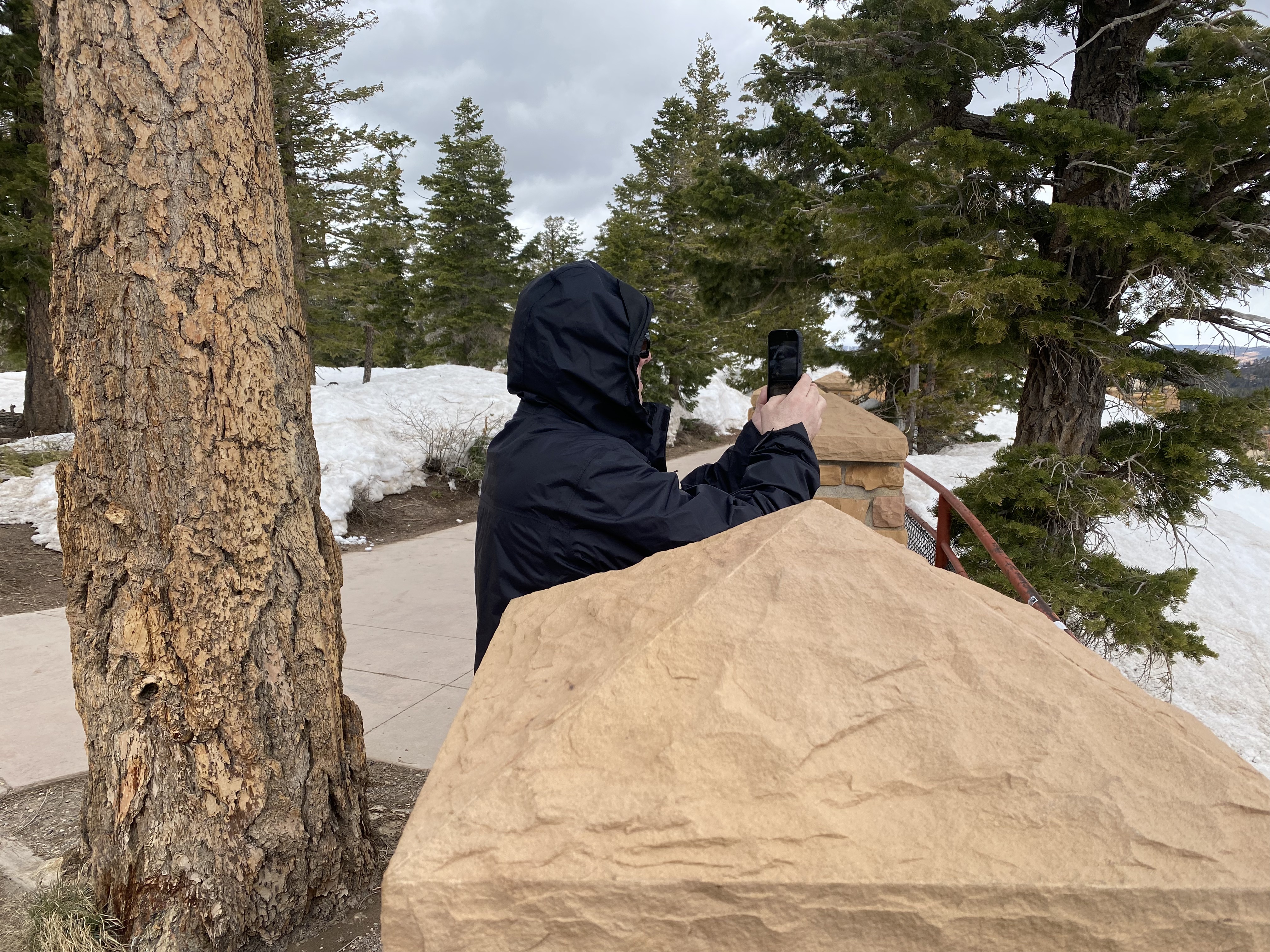
Wally at Yovimpa Point. Altitude is 9,119 ft, approximately; the temperature was about 38 degrees F.
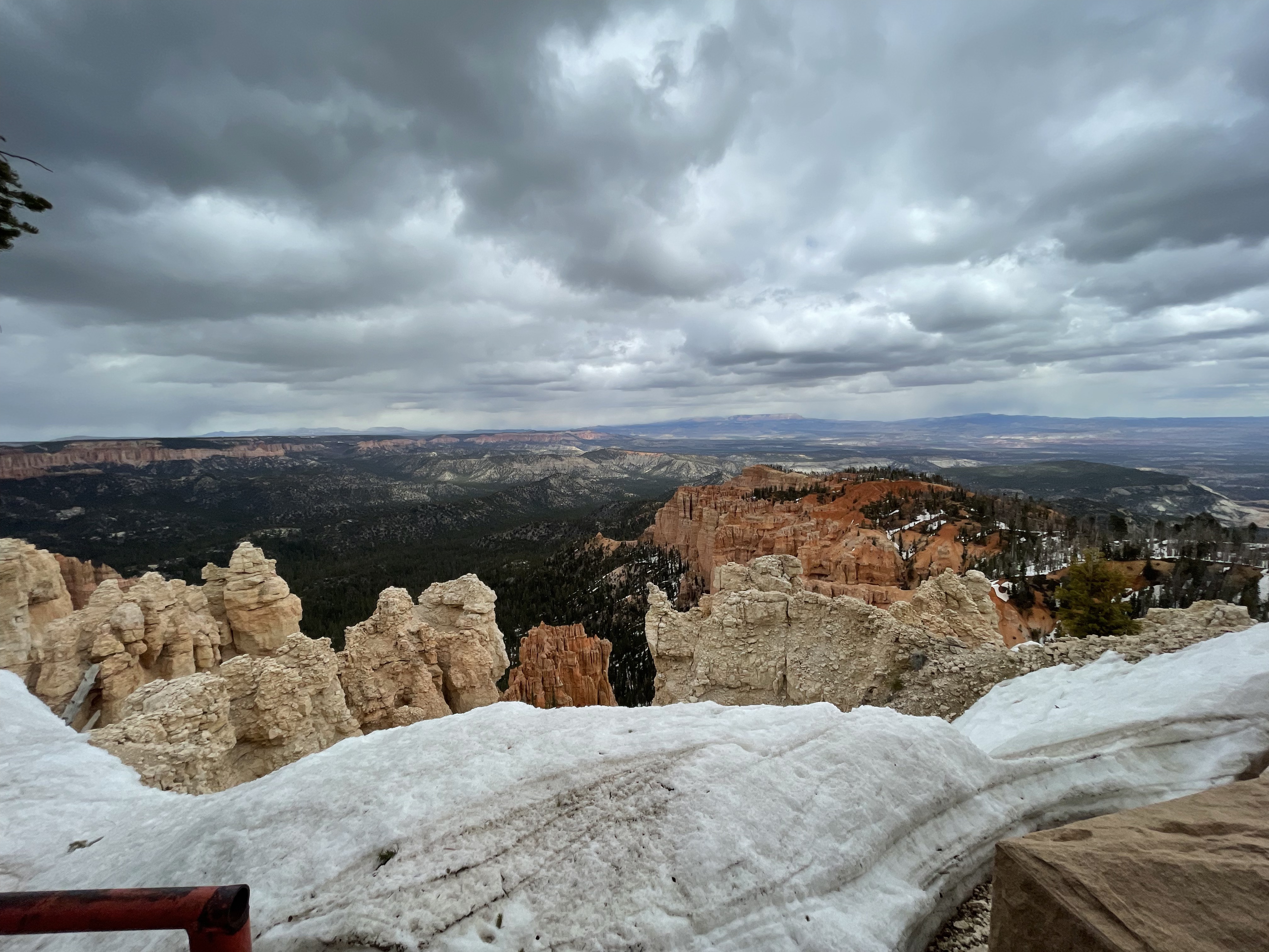
Here see the depth of snow at Yovimpa Point. (Image 0504, taken 12:33 pm on 5 May.)
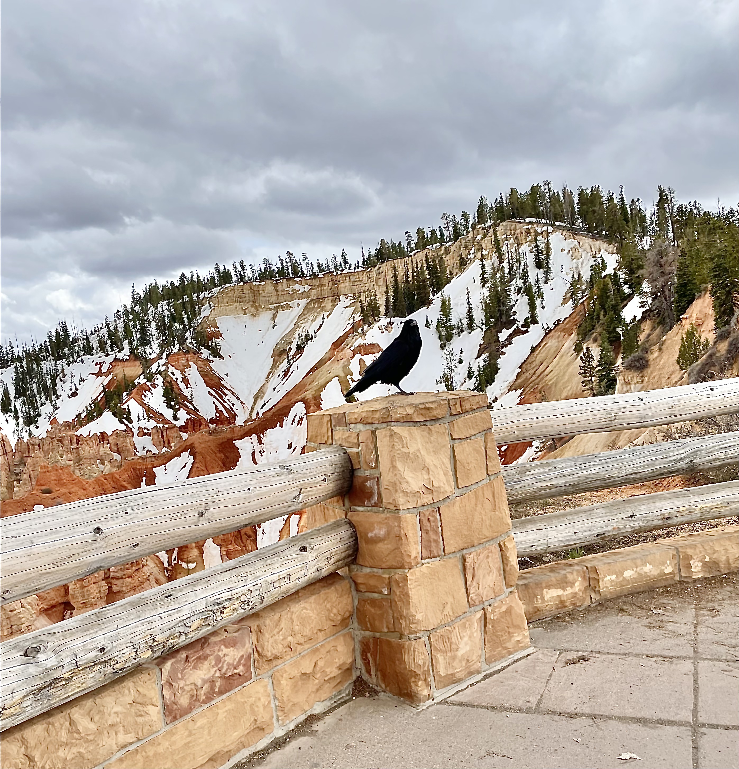
Raven at Agua Canyon viewpoint, BCNP, image #0527, 5 May 2023 at 1:08 pm.
(In the space above I hoped to mount a video of a deer bounding across the road. My version of WordPress does not allow videos; I haven’t been able to convert the moving image to still images to insert here. It is a good video; trust me!)
The next day, we went from Cedar City up State Highway 14 through Cedar Canyon. I wanted to show Navajo Lake to Wally. This lake has a dam across the middle so that in dry years, sufficient water will be held in the west portion of the lake to sustain the fish population. During wet years, the dam is covered with water, and fish can swim from each side of the dam to the other. Navajo Lake has no surface exits, yet is a freshwater lake. It has two subterranean drains, one in the western portion and one in the eastern portion. One of the drains emerges from the earth in a waterfall to which I hiked decades ago and joins one of the branches of the Virgin River which runs south and west to flow into the Colorado River. The other subterranean drain flows north into the Sevier River and ends up in what was Sevier Lake (now dry) in the Sevier Desert in western Utah.
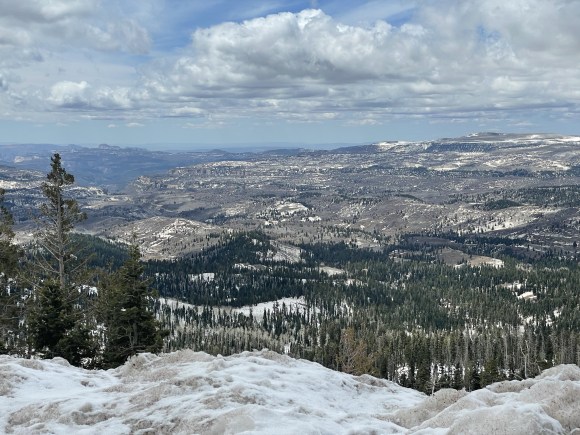
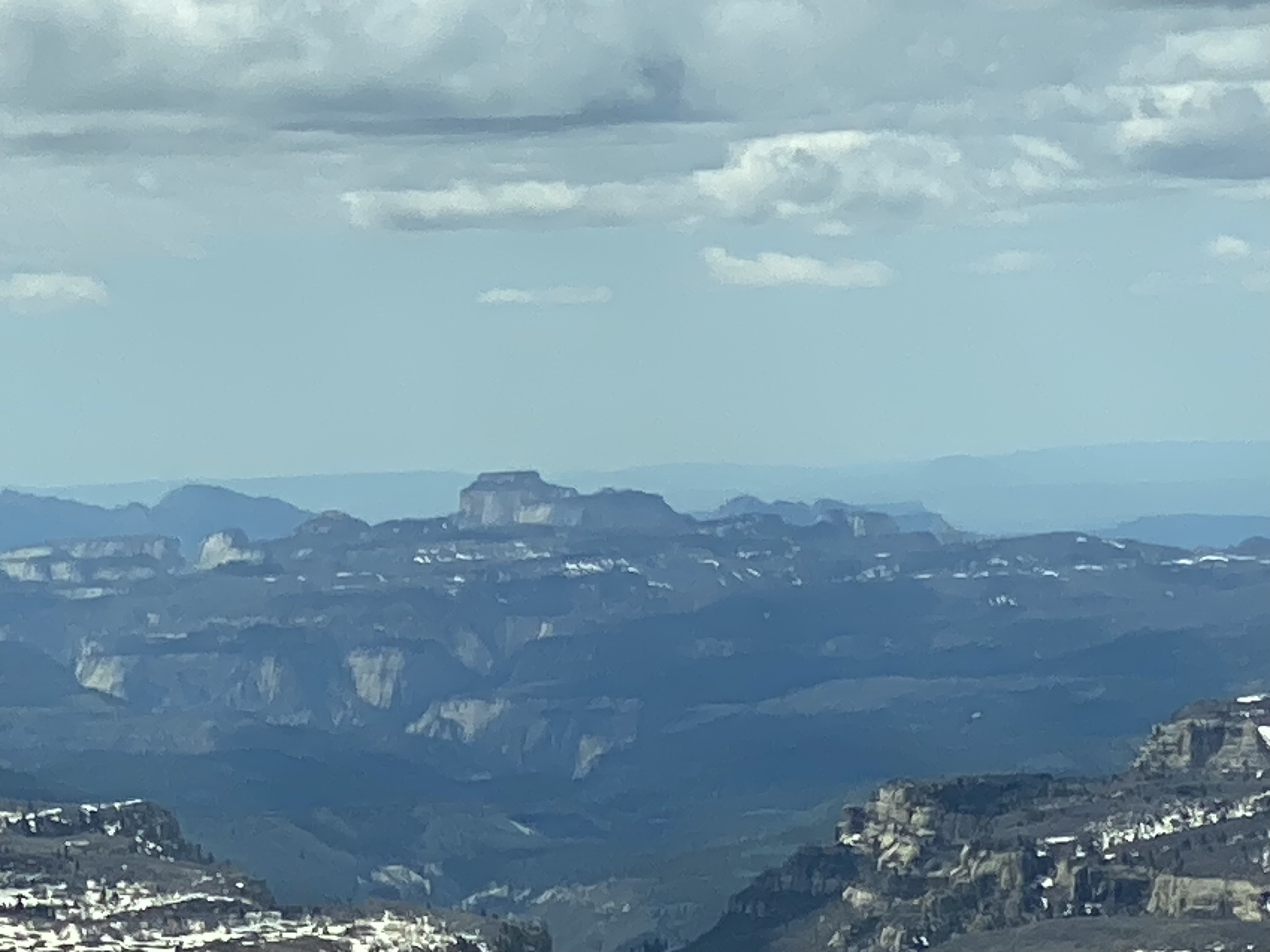
Two views of upper reaches of Zion National Park from Highway 14 in Cedar Canyon, 6 May 2023.
Below are two views of Navajo Lake from Highway 14 in Cedar Canyon
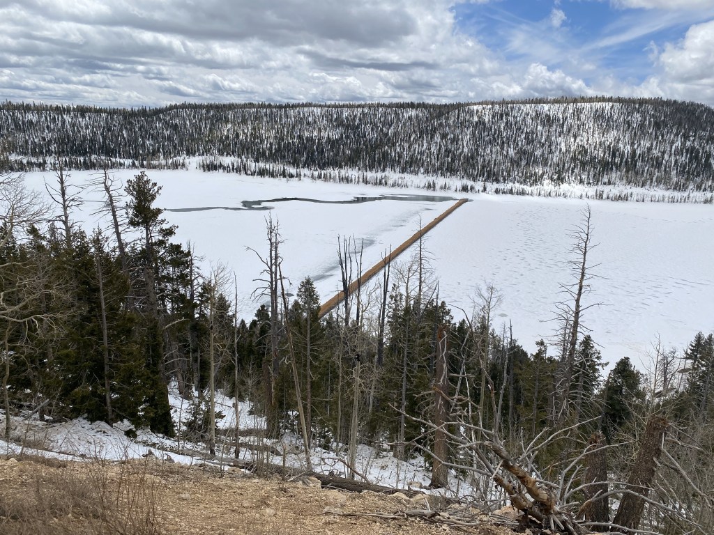
This photograph shows the dam stretching from south to north through the midst of Navajo Lake, and the stream through the lake bottom to the sinkhole on the left. The water in the lake remains deep to the right of the dam (western portion of the lake.)
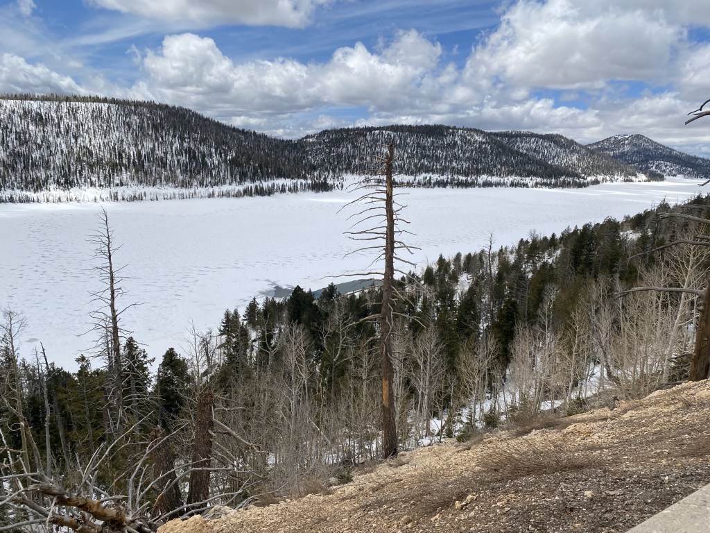
View of western portion of Navajo Lake from Highway 14 in Cedar Canyon above Cedar City. The dam is just to the left of the photograph.
On 7 May, we traveled south in I-15 from Cedar City, stopping to travel east to Kolob Canyon viewpoints in the northwest corner of Zion National Park.
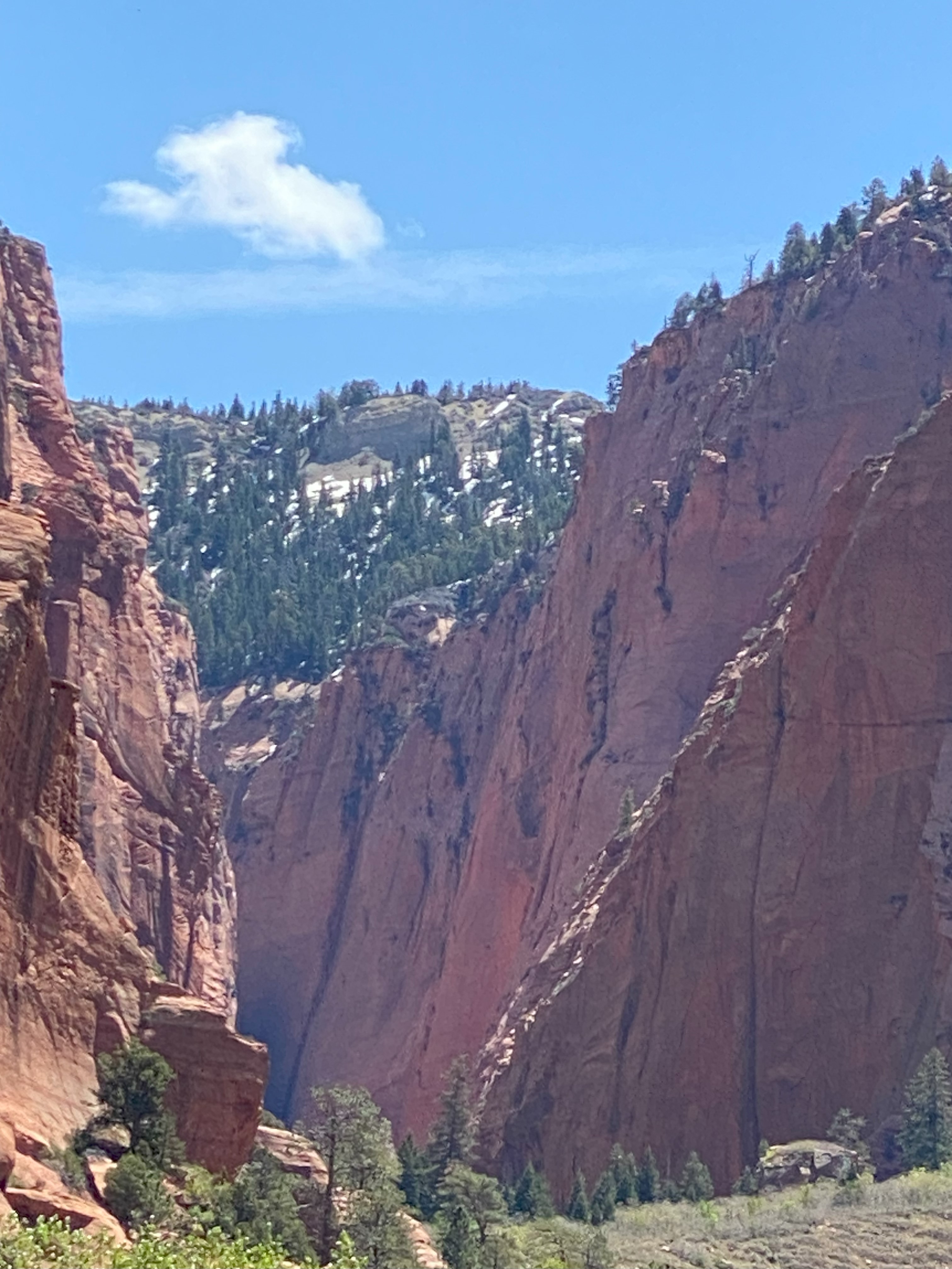
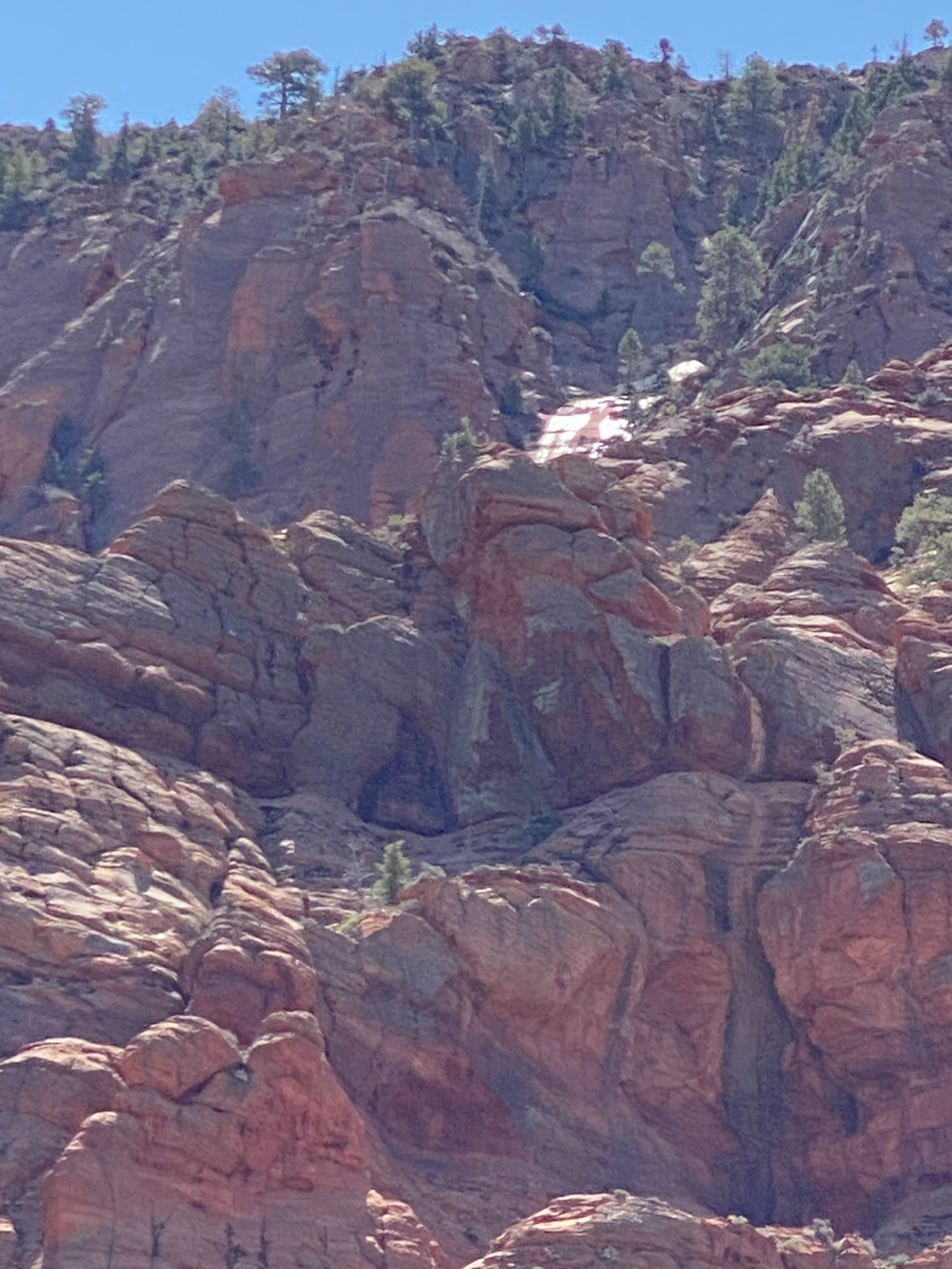
I have saved eight images of Kolob Canyon to WordPress, but the process altered the metadata, so date and time created were wrong. I have corrected the metadata, at least in this prose account. The images of sites in Kolob Canyon were taken on 7 May 2023 in early afternoon.
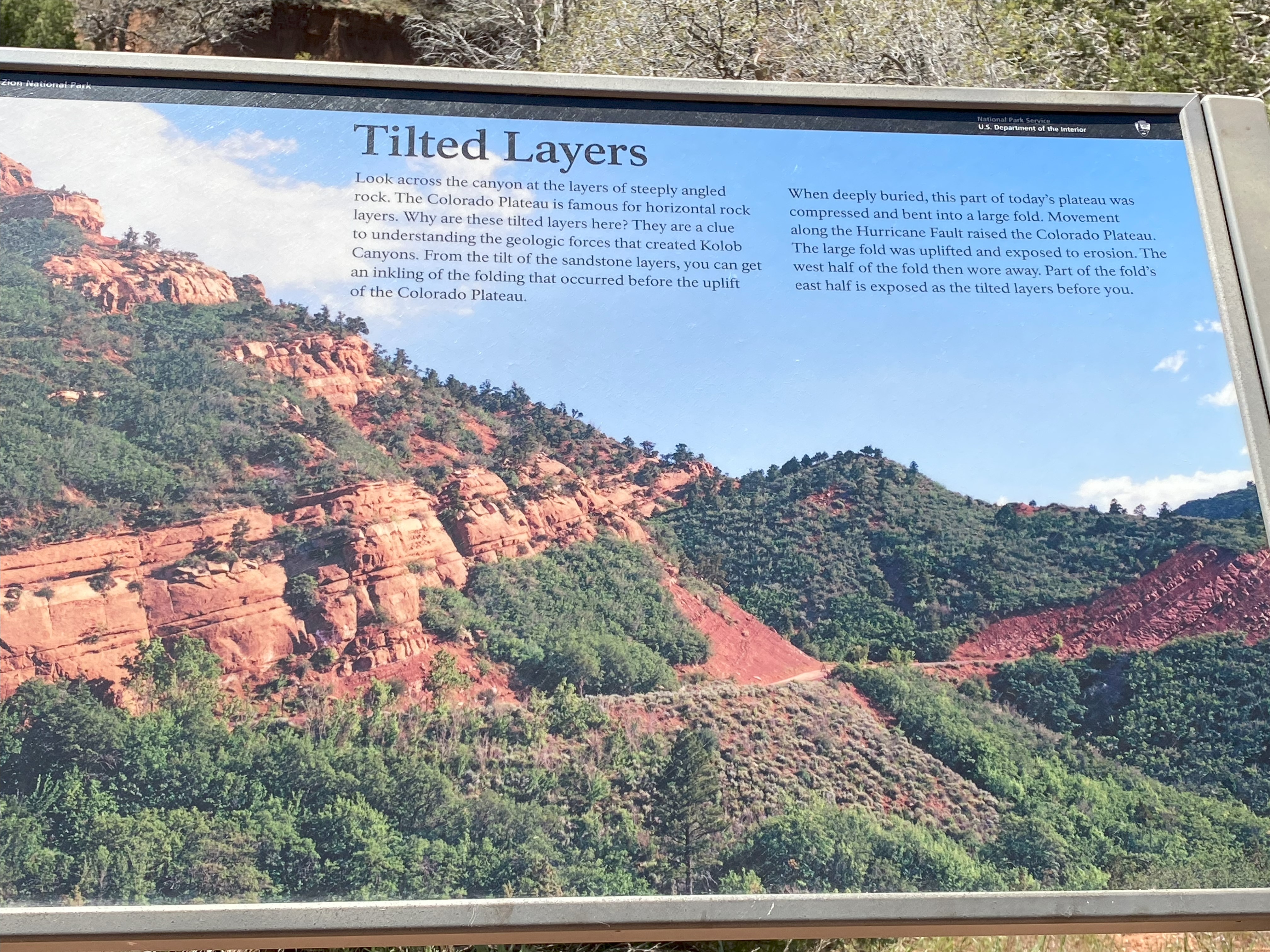
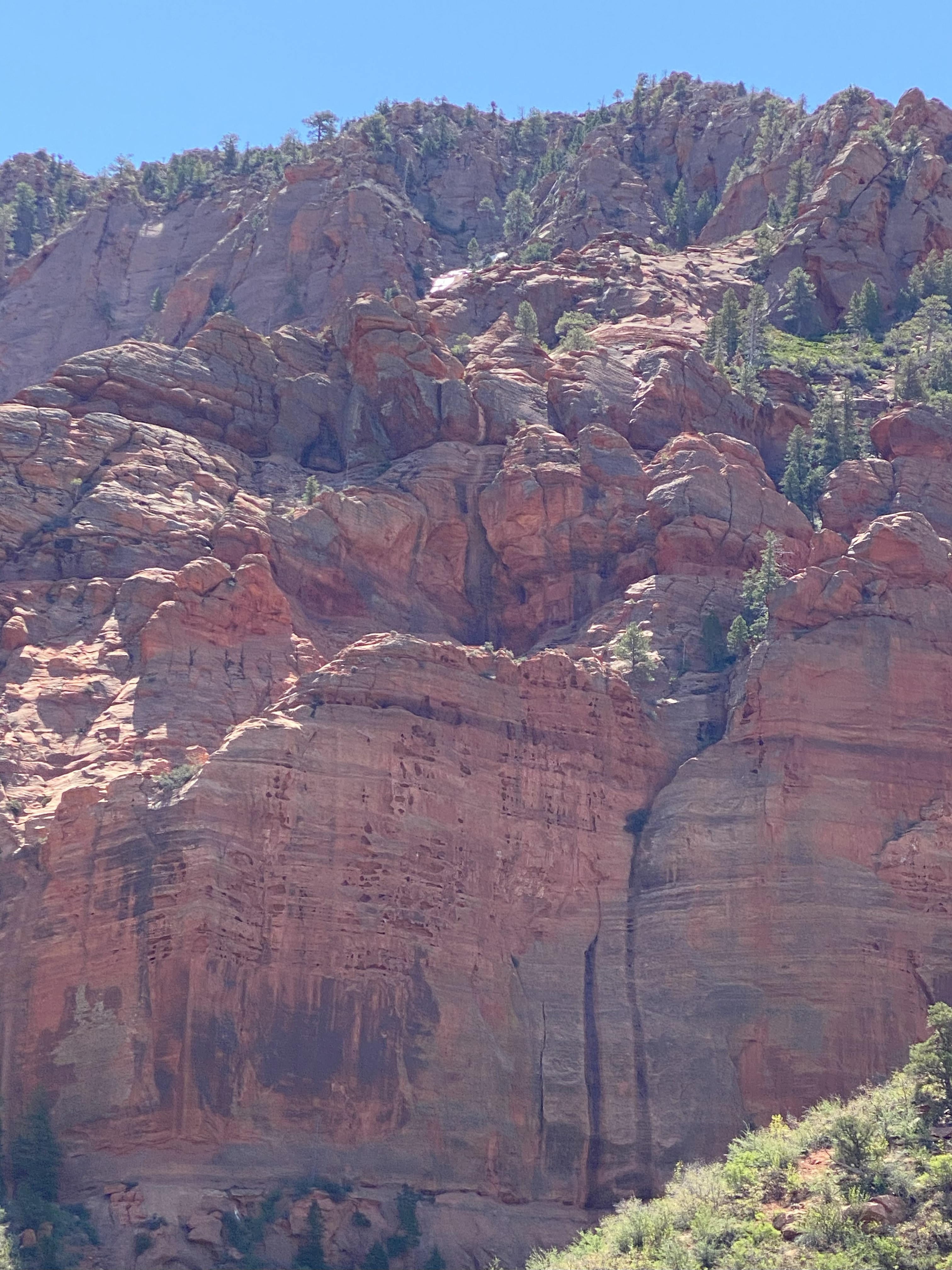
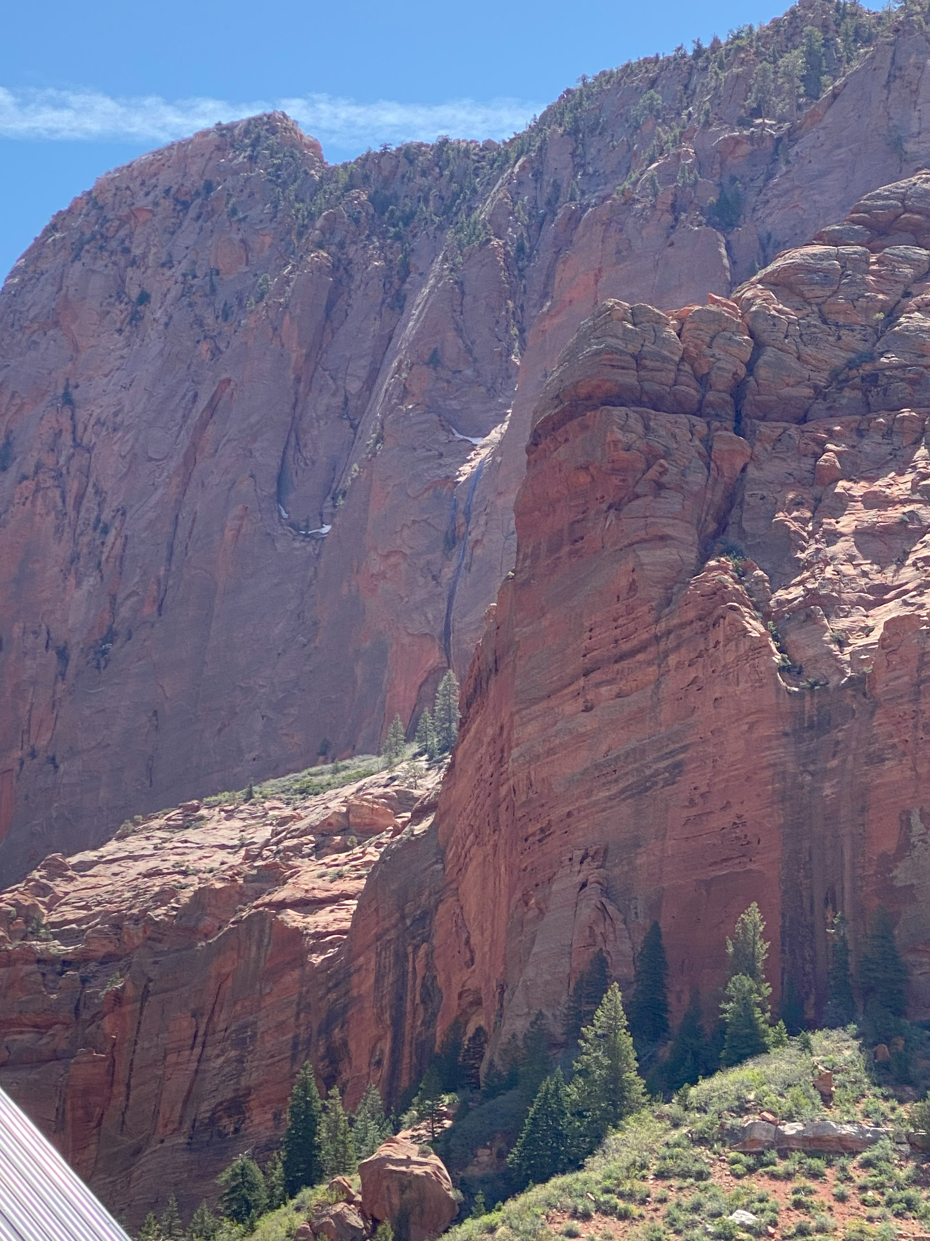
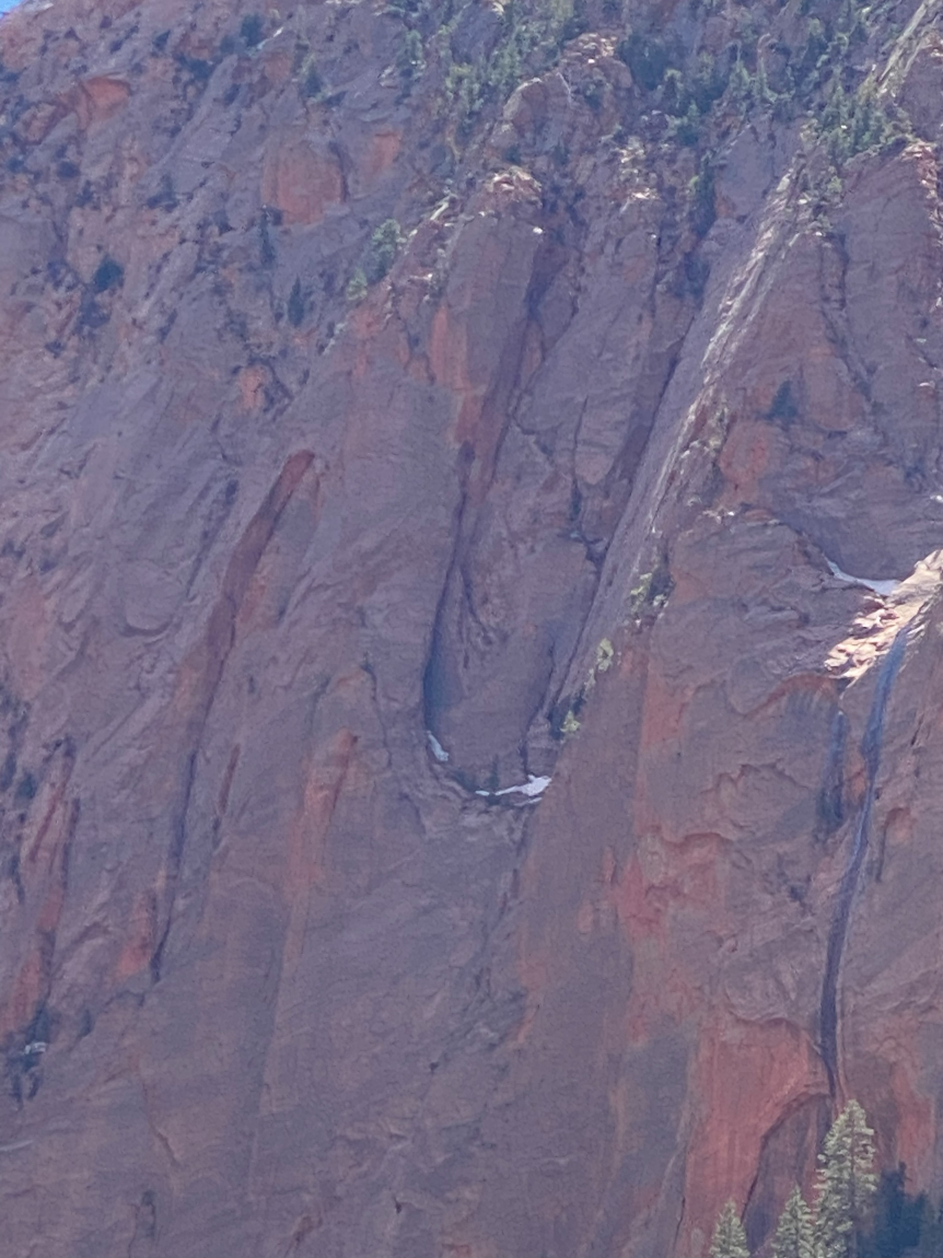
The first two images are almost the same view, slightly different vantage point, different magnification and about nine minutes in time. The placard photographed in the second row explains how the vast Colorado Plateau was tilted during massive uplifts of earth. The tilted layers extend from the Aquarius Plateau north of Bryce Canyon to the North Rim of the Grand Canyon, each large cliff face progressively exposing older and older layers of rock, ending in the very old layers exposed in the bottom of the Grand Canyon. The Middle image on the last row is a telephoto view of the image to its left. At the far right is the “Road Closed” sign.
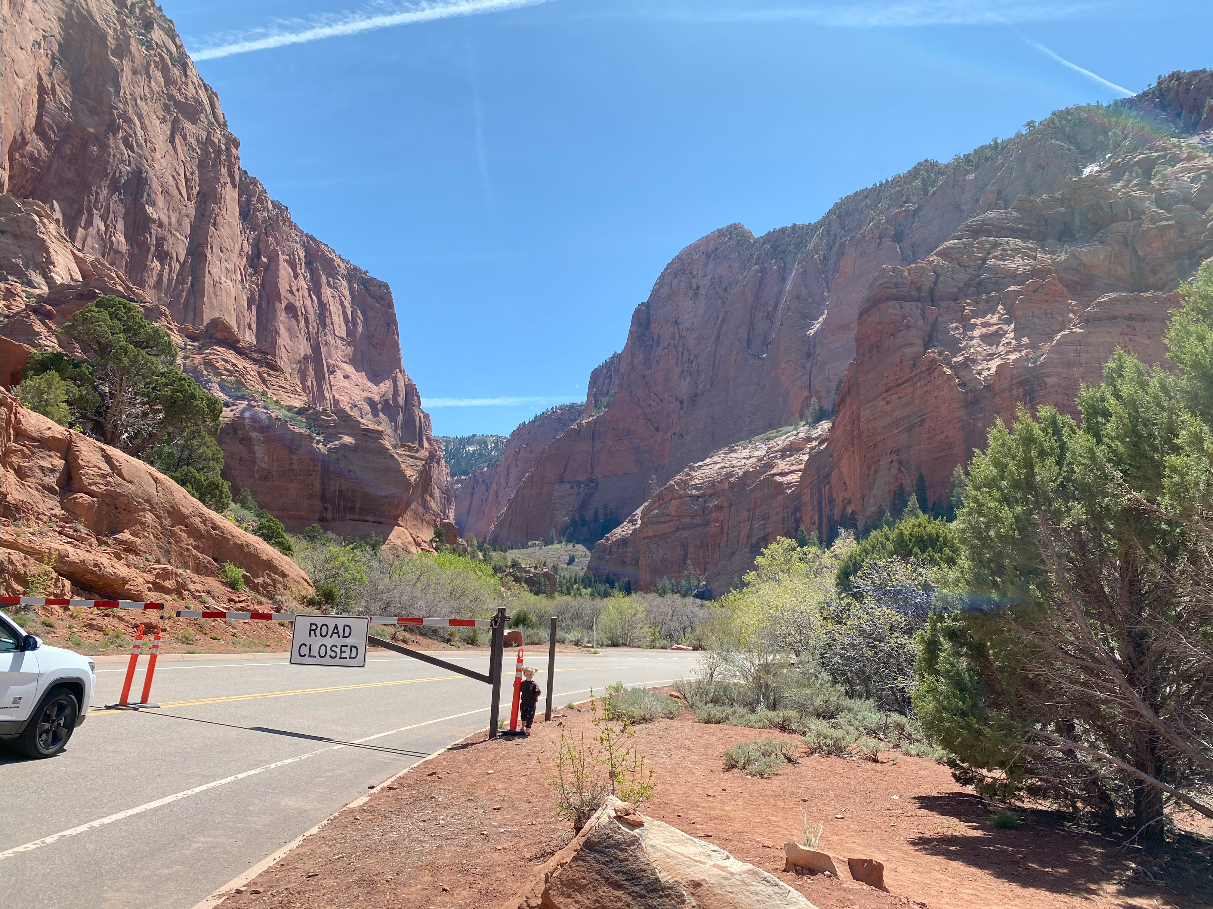
As one can see in the final image, the road to the ultimate viewpoint in Kolob Canyon was closed. We did not try to drive through the blockade.
After returning to I-15 from Kolob Canyon viewpoints, we drove south to Springdale, Utah, the entrance point to the main entrance to Zion National Park.
Part II
more to follow

One reply on “National Parks of Southwestern Utah and Northern Arizona”
I’m just now getting around to reading this. You have some amazing photos. They make me want to take a trip up that way. I’m glad you didn’t try to drive through the blockade,,haha
LikeLike